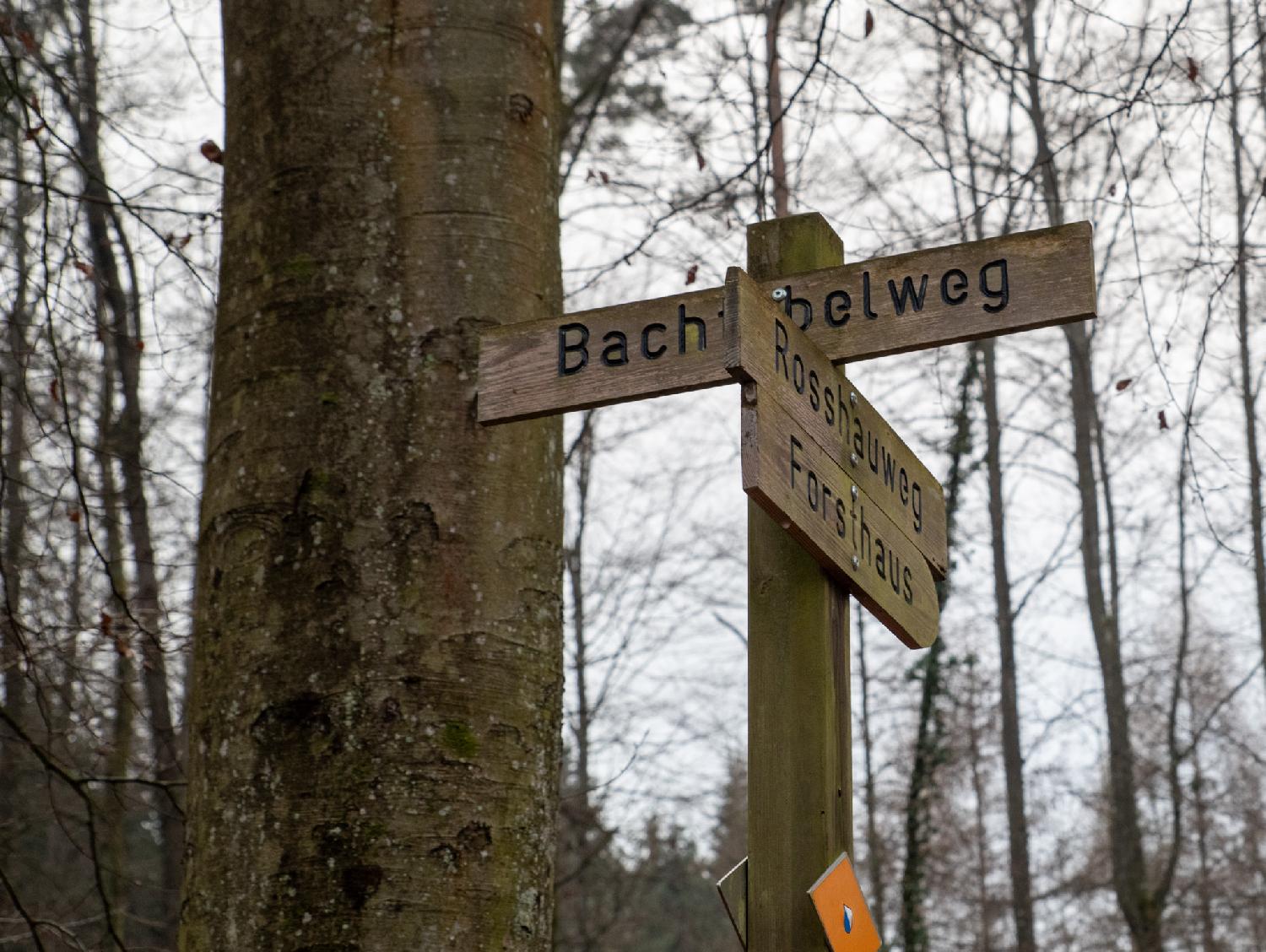
Bachtobelweg

Bachtobelweg is a forest path that goes from Tannenweg to Rosshauweg. It is named after the ravine (Tobel) next to the Gyrhaldenbächli (nearby stream).

A wooden pole with wooden signs indicating Bachtobelweg (partly hidden by the other signs), Rosshauweg and Forsthaus. A yellow diamond with the Zürich blue and white flag indicates a hiking path.

A picnic area in a wood, with stones for a fireplace, and a wooden table and two benches. There are trees around the area; three of them are marked with bright pink lines; one of them has a yellow diamond indicating a hiking path.

A narrow stream in a ditch, coming from a pipe underground, with wild vegetation all around.

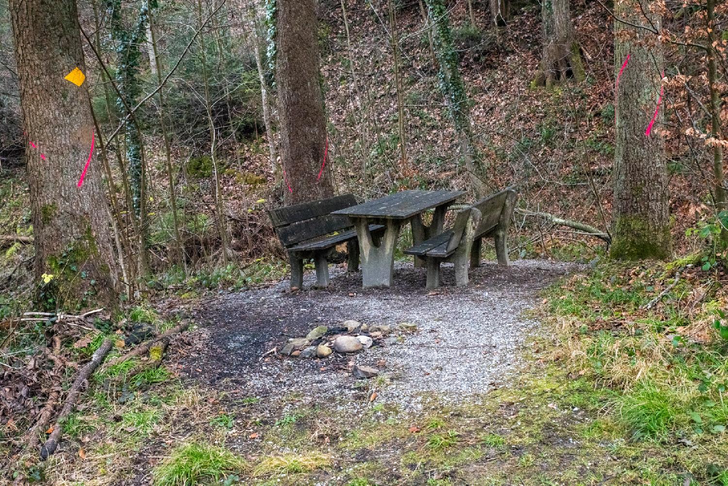
Most probably the Tobel of the path name.

A forest path covered with gravel in a woody area. The season is winter and the deciduous trees are naked. A few pine trees and grass still provide some greenery.

Cut tree trunks on the side of a forest path, with a forest behind them.

A small pond stopped by a metallic grid; some tiny stairs with a lot of moss and dried leaves on top of them are reaching the water.

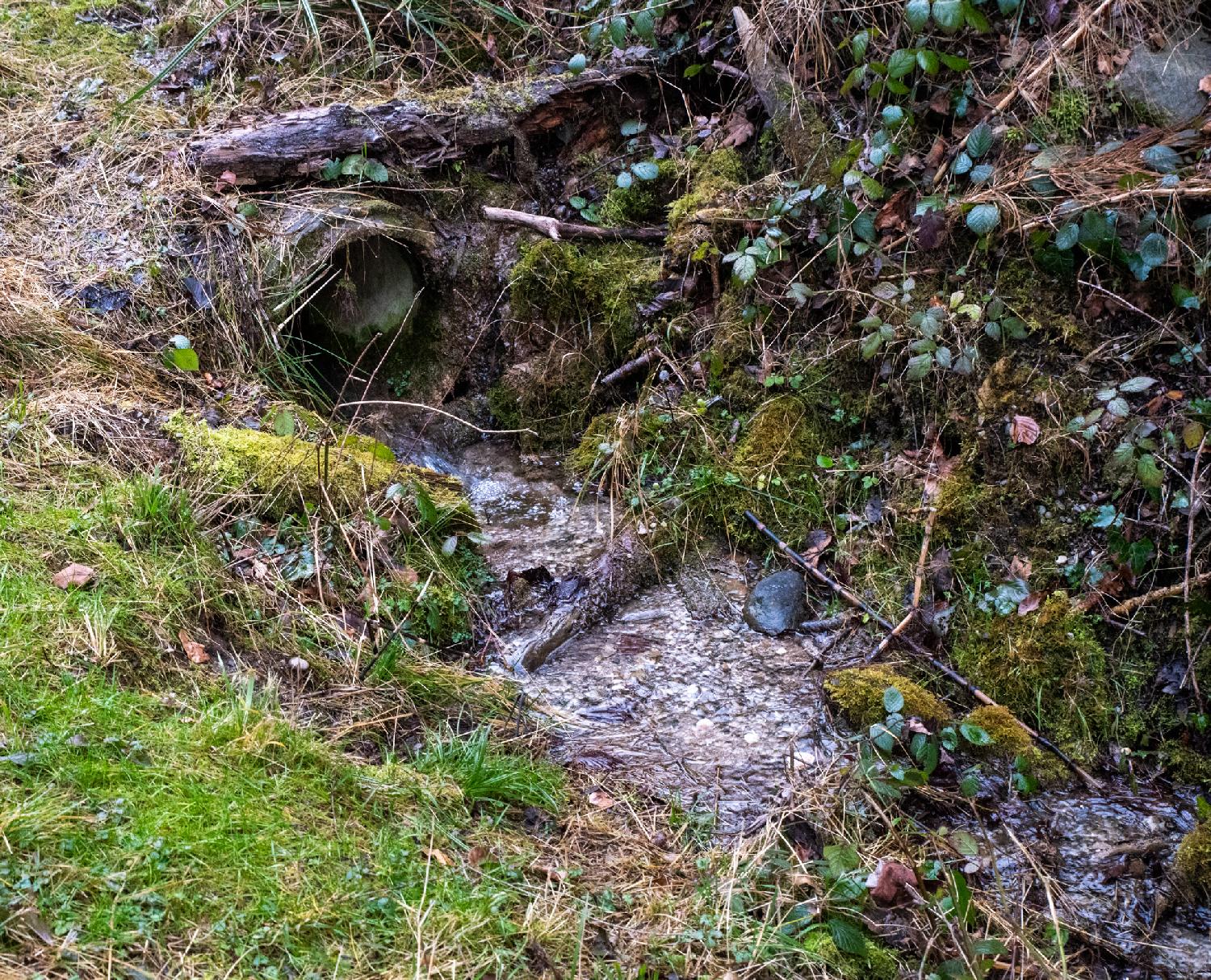
And that's the Gyrhaldenbächli!

Tags: Altstetten, forest, river